Sponsored
Sponsored
Fentanyl leaves a deadly trail, but overdose spikes and clusters in an area can predict where the drugs will show up next, and police are turning to an app for that.
The Overdose Detection Mapping Application tracks the location of fatal and nonfatal overdoses, and is already being used in San Diego and other counties and states. Chula Vista will be the first city in the region to use it in both police and fire departments.
As more counties make use of the free app, which was developed in 2016, police can better analyze how overdoses move along drug corridors from one neighborhood, county or state to another, experts told the Chula Vista City Council last week.
"What we're talking about is joining a nationwide database and the real key element is the overdose spike alerts," said David King, the director of San Diego – Imperial Valley HIDTA (High Intensity Drug Trafficking Areas).
Last month the county addressed the wave of local fatalities from illegal painkillers by declaring fentanyl a public health emergency. According to the Centers for Disease Control and Prevention, fentanyl overdose deaths are the top killer of people 18-45.
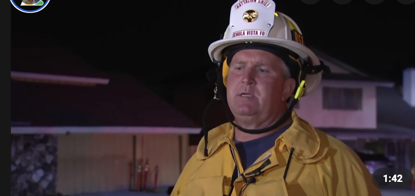
"That's more deaths attributed to fentanyl than Covid, heart disease, gun violence or car accidents," said Ray Smith, Chula Vista deputy chief of emergency services.
The main purpose of the OD app is to support public safety efforts - "to mobilize immediate responses to sudden increases and spikes in overdose incidents."
The app can be used by all state and local authorities. The data needed by the map are the date and time of the overdose, the approximate location, whether the overdose was fatal and if the medication naloxone, or Narcan, was administered to reverse the overdose, Smith said.
"Up to this point we have used a medication, Narcan" our crews carry, "but this program would add that extra little step we're looking for to really save lives," he said.
"We can respond through public safety alerts or internet awareness messages."
According to the map's website, spike alerts can be set up to notify an agency by email, if the total overdoses in an area exceeds a predetermined threshold within a 24-hour period.
Sandy Tutt, a public health analyst with the CDC Foundation, responded to data concerns about using the tool.
"ODMAP only collects very limited data fields," she reiterated, such as date and time and the use of medication. "They never collect addresses. All the addresses will get geocoded, so it never lands on a business or a house. It will land in the middle of the street and you can't zoom in to a certain extent, so it just obscures that data more."
In addition, the app, which she called a harm reduction tool, isn't available to the public.
She has worked with the program in Ohio, where she said it was extremely helpful in outreach efforts, and showing just how many areas of the city fentanyl had taken hold.
"In very affluent areas that we thought weren't being affected by overdose, the data actually showed that they were."