Sponsored
Sponsored
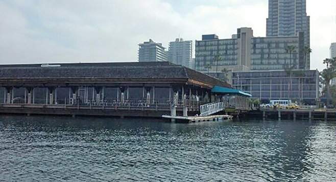
From February 17 through 19, the California King Tides Initiative is asking the public to assist in photographing the extreme high tides along our coastline to highlight how homes, infrastructure, and ecological habitats may be affected by future sea-level rise.
They are looking for shots of anywhere along the California coastline, particularly coastal areas that are subject to flooding or erosion and areas where high water levels can be gauged against familiar landmarks such as cliffs, rocks, roads, buildings, jetties, bridge supports, sea walls, staircases, dikes, and piers. They would like the photographers to get before and after photos comparing average water levels to the extreme high tide for the same location. Participants should log the exact date, time, and location (GPS) of your photos to help the researchers track and model local impacts more accurately.
Though beach tides, including king tides, are not caused by climate change, the purpose of the King Tides project is to encourage the public to use the event to consider and visualize what a permanent rise in sea level might look like in our communities.
The organizers would especially like shots of locations such as Del Mar Dog Beach (San Dieguito Lagoon Entrance), La Jolla Shores, Mission Beach, Oceanside Beach, San Diego Bay, San Elijo Lagoon, Tijuana Estuary, and Torrey Pines (where Peñasquitos enters the ocean).
Share your photos at flickr.com/groups/cakingtides.
Learn more at californiakingtides.org.