Sponsored
Sponsored
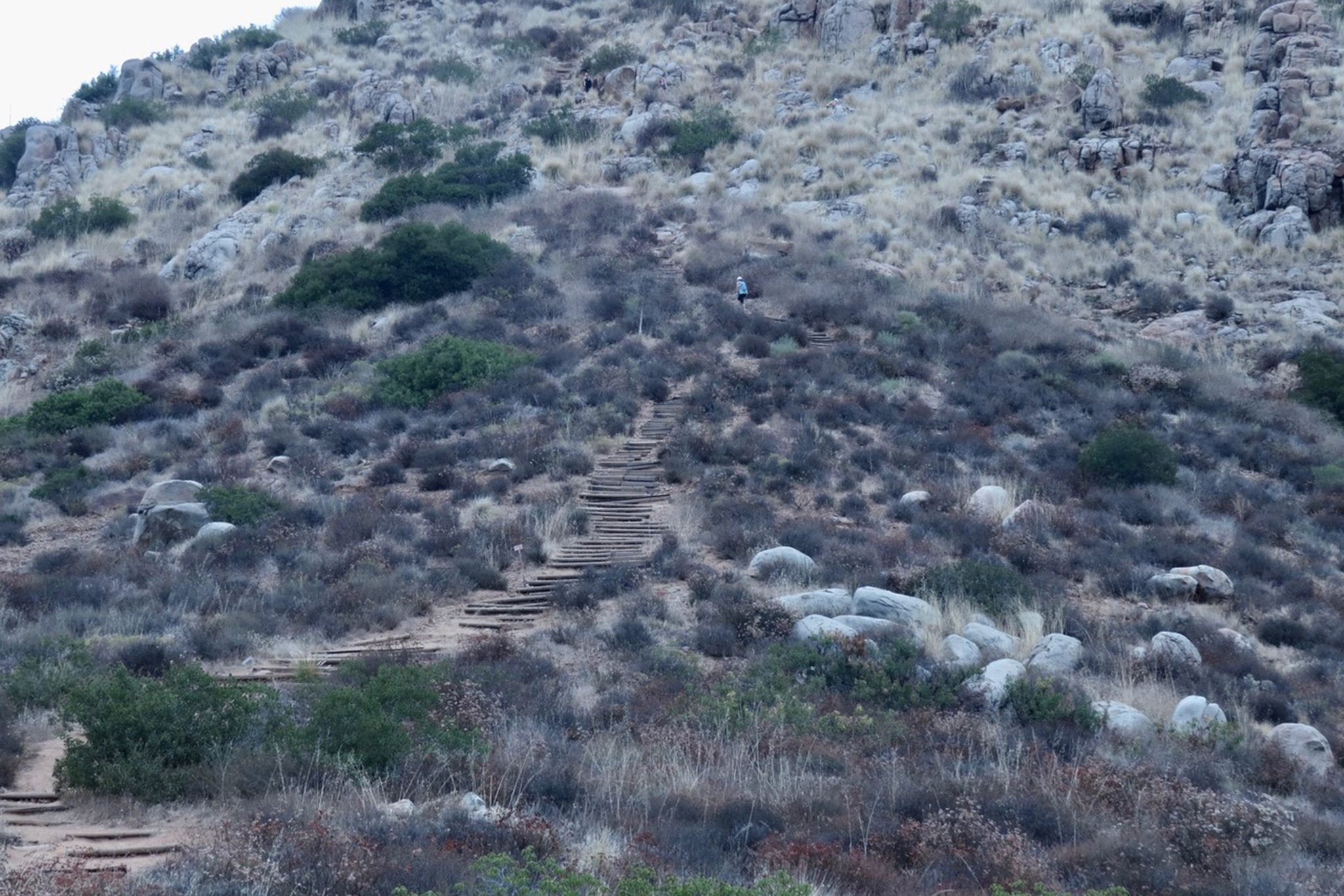
Hiking to the top of one or more of the major five peaks in Mission Trails Regional Park has always been an adventurous challenge for park visitors. The 5-Peak Challenge became a formal activity beginning in 2015 when participants began recording and documenting their hikes to the following peaks in the park: Cowles Mountain (1592’), Pyles Peak (1379’), Kwaay Paay (1194’), North Fortuna (1291’), and South Fortuna (1094’). Cowles Mountain is the highest peak within the City of San Diego. On November 27, 2015, 16 individuals from Los Angeles, Orange, and San Diego counties completed the 5-Peak challenge in one day. Since then, others have taken up the challenge. However, it is not necessary finish in one day to participate.
You may hike all five peaks in any order you like and take as long as needed. Some individuals take weeks or months to complete their goal. Time is not a factor in your victory! When you reach a peak, take a “selfie” or have a friend take a photo of you next to each summit sign. E-mail your photos to 5-peakchallenge@mtrp.org when done for verification. After you are notified by the park, stop at the Visitor Center between 10 am and 4 pm to get your official 5-Peak Challenge certificate and logo pin. You may also take your photos to the Visitor Center for verification.
Note that the distances given for the routes to the five peaks as outlined on the map are one-way distances to peaks. If you want to do more than one hike at a time, we recommend doing North Fortuna and South Fortuna on the same day. The same recommendation can be made for Cowles Mountain and Pyles Peak, and then do Kwaay Paay on a third trip. When doing Kwaay Paay, be cautious on the descent from the summit. The trail is steep and quite slippery, whether wet after a shower or dry like it tends to be in the heat of summer.
Take plenty of water with you, some salty snacks to replace electrolytes, sunscreen, and a first aid kit. While hiking, be aware that rattlesnakes are active all months of the year.
There is little shade as you hike along up and down. In the summer and early fall, the temperature in the sun can be close to 100°F. Rangers and Volunteer Patrol personnel have assisted hikers and dogs when the temperature was at 112°F. So check weather conditions before heading out. The best time is in the spring, when it is cooler and nature is in its glory with spring bloom.
When you have the time, Google 5-Peak Challenge and click on 5-Peak Challenge – Mission Trails Regional Park, for good information and inspiration from some of the individuals who have completed the challenge. By the end of 2019, there will be close to 12,000 hikers who have completed the 5-Peak Challenge.
For details about the habitats and plants encountered while climbing these peaks, check out the individual peak writeups found in previous Roam-O-Rama columns printed in the San Diego Reader.
5-PEAK CHALLENGE: MISSION TRAILS REGIONAL PARK
Challenge yourself to a fitness adventure and do it at your own pace.