Sponsored
Sponsored
The La Jolla/Bird Rock Bike Path begins at the southern end of Bird Rock at the intersection of La Jolla Hermosa and Camino de la Costa. On the north end, the trail turns around when it hits Nautilus Street at San Diego Fire Department Station 13. Historically, the path takes part of its route from the old Los Angeles and San Diego Beach Railroad, which serviced the area from 1894 to 1917. In 1924, the San Diego Electric Railway was in operation, and the La Jolla United Methodist Church that you see along today’s path was the old San Carlos station. There is a sign located about halfway through the route that details some of the history of this pathway.
The beginning of the path winds flatly behind local residences, so you will see common residential plant species such as jade (Crassula ovata), Brazilian pepper trees (Schinus terebinthifolius), sticky monkey flower (Mimulus aurantiacus), bamboo, and other ornamentals. You will also see natives such as laurel sumac (Malosma laurina), some of them covered in ornamental vines. The colors and foliage seen on the path will depend on the season of your hike and recent rainfall.
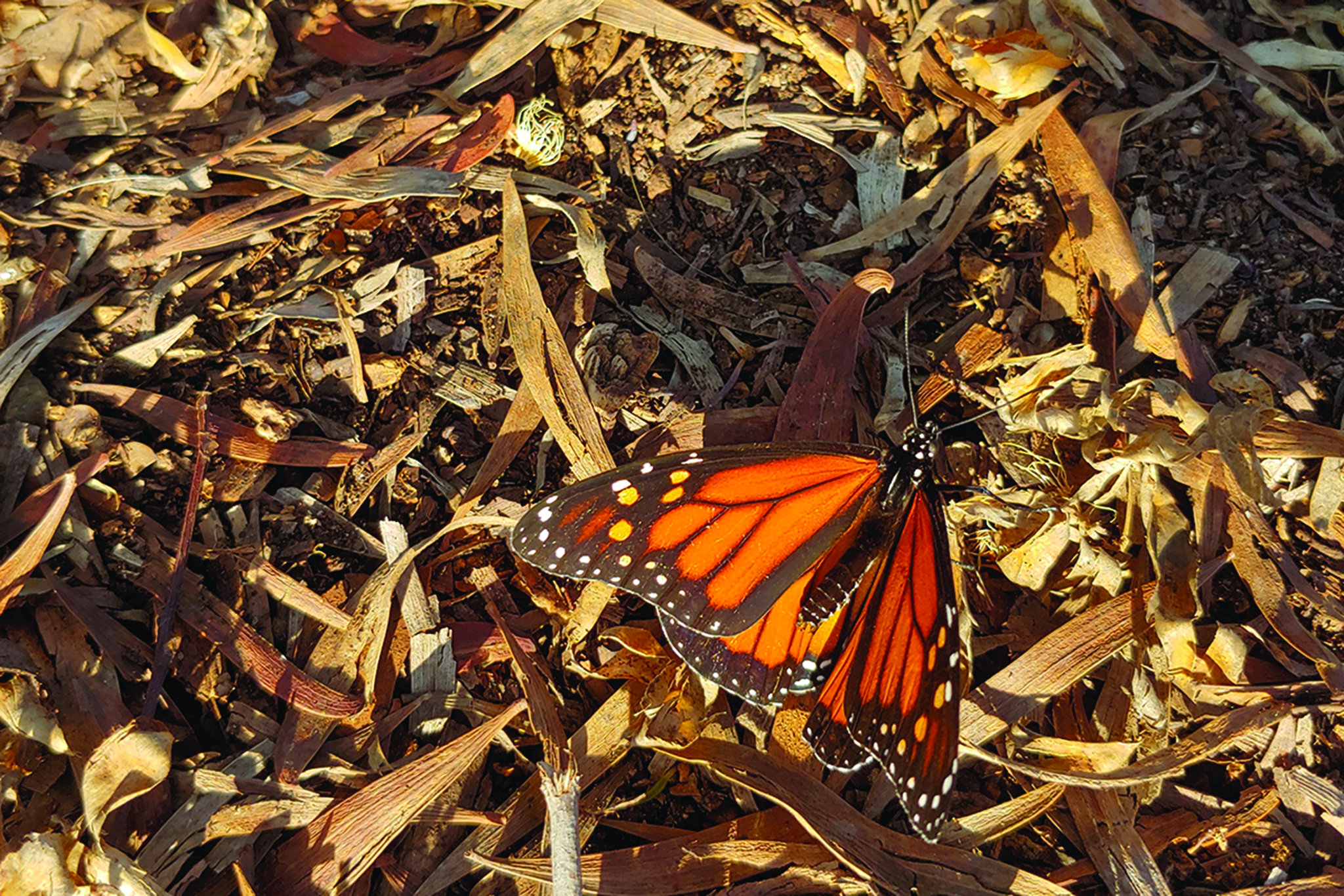
At La Canada Street, the trail turns into a parking lot behind buildings and the La Jolla United Methodist Church for one block. Once the trail resumes, there is a sign for the La Jolla Bike Path detailing some history, a map of the area, and listings of flora and fauna you may see along the trail. Soon after this, the trail opens up into a larger space where there are some large century plants (Agave americana), tree tobacco (Nicotiana glauca), and lemonadeberry (Rhus integrifolia). Butterflies and birds can also be seen. With winter or spring rains, mushrooms can also be seen just off the trail—but of course, don’t eat them!
After a brief narrowing, the trail opens up again to a hillside peppered with common native San Diego plants such as California buckwheat (Eriogonum fasciculatum) and coast prickly pear (Opuntia littoralis). In the winter or spring months, look for vines of wild cucumber (Marah macrocarpa) and their spiky fruits covering some patches of lemonadeberry. This plant spends the dormant months as a tuber below the ground, but with rainfall, it sends out its vines to climb neighboring plants and shrubs. If you see the grape-like leaves and white, five-pointed flowers, get a closer look at the interesting tendrils that ratchet the vine up its structural host.
Soon after this, there is a split along the path where the trail continues uphill towards the right. The short path to the left stays flat, but only dead ends at a small park. As the trail heads uphill, you will see some large stands of coastal sagebrush (Artemisia californica). This plant can look completely dry and dormant in the summer, but with the slightest amount of precipitation, thin green leaves will appear that are sweet and fragrant when rubbed. This scent earned the plant its nickname of “cowboy cologne” for pioneers who needed some freshening up! On the right, there are some nice cross-sections of the local geology, most notably the large cobblestones of the Poway Formation that are ubiquitous around San Diego. At this point, you are greeted with the best ocean views of the whole trail where you can look out over the kelp beds of La Jolla and Bird Rock. If you scramble up the small trail offshoots (be careful of slippery gravel), you can get an even better view.
In a few hundred feet, the trail ends when you see La Jolla High School at Nautilus Drive. While you are walking back, see if you can find some plants or animals you didn’t quite catch the first time.
LA JOLLA/BIRD ROCK BIKE & HIKE PATH
Enjoy ocean views on a road less traveled through La Jolla
Driving directions: From I-5, take the Garnet Avenue exit and head west on Garnet Avenue. Continue on Garnet approximately 2.5 miles to Mission Boulevard. Head north on Mission Boulevard approximately a half mile, then take a left where it veers into La Jolla Boulevard. Head north on La Jolla Boulevard about 1.5 miles, then turn right on Camino de la Costa. The path is on the left 1.5 blocks down, where Camino de la Costa intersects La Jolla Hermosa Avenue. Hiking length: 1.25 miles out-and-back. Allow 45 minutes to one hour. Difficulty: Easy. Mostly flat terrain with paved and packed dirt. Bicycles, scooters, and dogs allowed.