Sponsored
Sponsored
Based on the current warming trend, the Pacific Ocean is predicted to rise on the California coast by about one foot by 2050 and three feet by the year 2100. A three-foot rise in sea level would displace an estimated 480,000 people.
If the sea level rises as predicted, there will be permanent or periodic inundation of previously above water low-lying areas, especially when there is coastal flooding during extreme storms and high tides. Erosion rates will increase, causing the shoreline to recede, which in turn will affect water quality with added silts and contaminants. Existing wetlands may be lost or changed and saltwater will back far enough into some storm drain systems to enter fresh water-ways and groundwater basins.
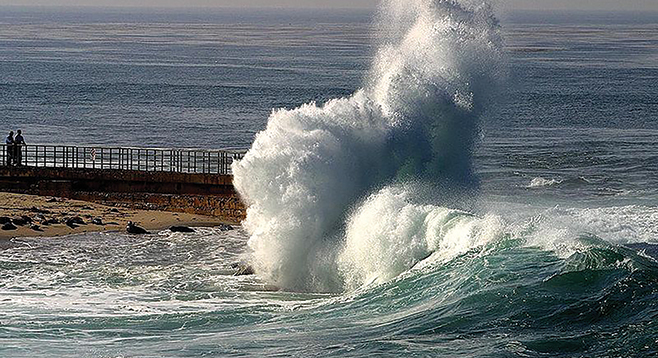
A good way to mark the change is to monitor the king tides, or the highest tides of the year. King Tide is not a scientific term and the super-high tides are not caused by climate change; they are a natural product of the gravitational pull of the moon and sun that occurs a few times a year.
An average citizen can get involved in the California King Tide Photo Initiative and snap some coastal shots during the king tide periods. They are looking for photos anywhere along the California coast, especially areas subject to flooding and where water levels can be gauged against landmarks such as rocks, roads, jetties, bridge supports, staircases, and piers. Participants should log the exact date, time, and location (GPS is a plus) of your photos to help researchers track impacts more accurately. The next king tide period in San Diego will be during the morning hours of December 22-24 at 6:17, 7:00 and 7:42, respectively.
The Tijuana River National Estuarine Research Reserve is one of the local partners in the program. There are several ways to enter photos, including Facebook and Flickr.