Sponsored
Sponsored
The San Diego Unified Port District is embarking on the first phase of a comprehensive master plan for the San Diego Bay, which is expected to take a total of five to seven years to complete.
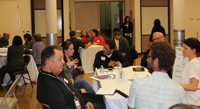
On Wednesday, February 19, the port hosted a meeting at the Norman Park Center in Chula Vista and asked community members to provide their input. Port commissioners Ann Moore (Chula Vista) and Dukie Valderrama (National City) attended the meeting.
The current master plan was written 50 years ago and has been amended 35 times. As a consequence, a team of architects has been assigned to create a new and ambitious integrated vision for land and water use at San Diego Bay. Once complete, the master plan will be submitted to the California Coastal Commission.
Gordon Carrier from Carrier Johnson + Culture architectural firm gave a talk about the bay’s assets, occupied by seven entities, including five cites, the Navy, and the port. The bay is mixed use, meaning the waters accommodate recreation, movement of goods, an environmental habitat, sporting, and fishing. The bay also has an association with Mexico due to its location in the southwest corner of the United States.
Carrier said, “All of those things right now live together in a very complex, but very elegant way and so the idea is, looking forward, how do we advantage those enterprises in ways that will meet everybody’s needs.”
A Q&A session followed and more than half a dozen design-team members fielded questions. They represented several architectural firms, including the selected team leader, HKS Urban Design Studio. One community member asked, “What would be the pluses and minuses of a second bay entrance in the south?”
A design-team member answered, “The military has long been concerned about being able to get the ships at the naval station out in the event of an emergency or something plugging up the primary entrance to the harbor. Another thing that’s an issue with this is the fact that once you open up that access, it changes the entire hydraulics of the bay, such that the environment, the shallow tidelands and most of the spaces that are set aside as a habitat, those would in essence be lost or substantially altered.”
The audience then broke off into small groups for a 20-minute time span to discuss what excited them, concerned them, and what should be a priority for the integrated plan. Answers varied, with priority given to issues of job creation, preservation of the environment, increased parkland, and access to the arts and museums. Many groups wanted to see an “emerald necklace,” or green spaces throughout the entire bay.
Updates on future community meetings as well as an online survey can be found at portforall.org.