Sponsored
Sponsored
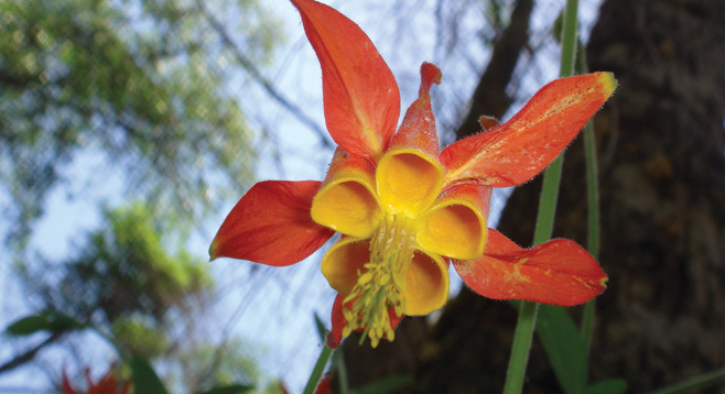
Palomar Mountain is a gem of an area and one of the few places in San Diego County where you can go for a four-season experience. At over 5000 feet in elevation, it has a Sierra Nevada feel to it with a mixed conifer forest environment and a diversity of plant life, including dogwood, tiger lilies and very small orchids. Wildlife includes the black-tailed mule deer, bobcat, mountain quail, and Stellar’s jay.
At the parking lot, start on the Doane Valley Nature Trail and veer left on the Lower Doane Trail to the weir. Watch for banana slugs along Doane Creek, where there is an isolated population at its southern-most range. Trout can be spotted in the creeks where many are escapees from Doane Pond. Doane Creek and French Creek merge just above the weir. There is a small pool of water next to the weir where volumetric flow rate was measured when the water flowed over a low barrier in hopes that power could be brought to the area. Turn back after a rest at the pond until a spur crosses Doane Creek and veers left, toward French Creek, then loop back on the French Valley Trail until the Doane Valley Campground, where the Doane Valley Nature Trail returns to the parking lot. Past the kiosk is a restroom behind tree. Cross a small bridge to view the pond.
The loop trail can also be accessed at the Doane Valley Nature Trail/Doane Valley Trail intersects, starting at the corner of the Doane Valley parking lot or by walking from the parking lot to the campground trailhead (just beyond site #25). The trail from the campground peeks in and out of the pines, oaks, firs, and shrubs. If you stay to the right, you will remain on the French Valley Trail. Here, note the ancient oaks, some of which have grown over large granitic boulders for support. There is evidence of acorn woodpecker granaries in enormous pines. However, many pines have succumbed to fire and bark beetle infestation. There is also a large group of deep morteros as you head down-valley on the left-hand side of the trail.
After about a mile, the trail loops back to the left and will follow the edge of a meadow before merging with the Lower Doane Trail. A right turn will head you in the direction of Doane Creek. If you turn right again just before Doane Creek, a spur trail will take you out and back to the weir. Use caution when stepping on the rocks surrounding the pool of water in front of the weir, as they are well worn and slick, making it easy to take a plunge! After returning on the spur trail, continue across Doane Creek and turn left to head back up-valley toward the Doane parking lot. This portion of trail begins with some exposure and then disappears under tall firs. The trail ends with a short steep section up stone steps and a shallow creek crossing with stepping-stones. Cross the main park road to a short bridge crossing and the trail will emerge into the parking lot.