Sponsored
Sponsored
The first challenge of this hike will be finding the trailhead. It starts at the same parking lot that serves the better known Pine Valley and Secret Canyon trailheads in the Cleveland National Forest. Bringing a GPS or compass and map are prudent precautions if you are hiking there for the first time without people who have hiked there before.
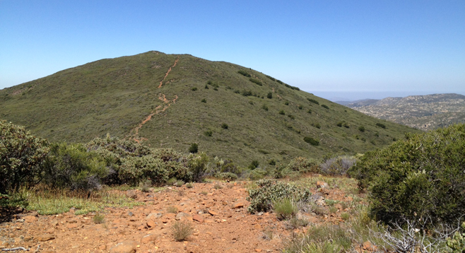
The easiest way to find the trailhead is to walk from the parking lot back toward the main road, keeping an eye to your left for a sign reading, “Welcome, Entering National Forest Recreation Fee Area.” From this sign, walk about 50 feet more to a bend in the road and look to the left. Under a stand of oak trees there is a gate marking the start of the trailhead. Follow the trail through the gate, down to a grassy low area. From here, the trail moves off again to the left. Continue up the trail, which will become increasingly rocky and steep. About halfway up to the summit, there will be a rail to your left. Turn left and continue beyond the rail up the slope. Keep an eye on your back trail to help find your way back, and do not forget to enjoy the many native plant species along the way. Mariposa lilies, Collomia grandiflora, manzanita, ribbon wood, chamise, scrub oak, buckwheat, white sage, spineflower, penstemons, and green gentian are just a few of the species you’ll spot along the way.
As you top the crest just before the summit you will see a number of Tecate cypress trees, (Cupressus forbesii) growing on the north side of the slope. These trees are native to Southern California and Baja California. Come prepared with gaiters or long sturdy pants so that you can pick your way through the chaparral to view the trees up close; many are more than 100 years old. The cones resemble gray soccer balls the size of a golf ball. These hard, impenetrable-looking cones take up to two years to mature and open only in response to high heat. Fire is the primary means of opening up the cones to disperse the seeds and the tree propagates solely from seeds. Check out the article on the U.S. Forest Service website for more fascinating facts on these rare trees.
The most comfortable times of year to do this hike are spring and fall. Going in mid-June offers a gorgeous abundance of wildflower blooms, but the heat and the biting flies are intense at that time. Bring insect repellant, sunscreen, and lots of water. Early summer brings opportunities to view horned toads and other lizards. Be alert for possible mountain lions that could potentially roam this area as well.
Canyoneers are San Diego Natural History Museum volunteers trained to lead interpretive nature walks that teach appreciation for the great outdoors. For a schedule of free public hikes, refer to the San Diego Natural History Museum website.
Distance from downtown San Diego: 45 miles. Allow 50 minutes driving time. From I-8 east, take the Pine Valley exit and head north to Old Highway 80. Drive 1.5 miles to the turnoff for the Pine Valley Trailhead. Turn left and drive half a mile to the parking area. A National Forest Adventure Pass is required to park. There are restrooms at the trailhead.
Hiking length: 5 miles.
Difficulty: Moderate, with a little over 1,000 ft. total elevation gain/loss. The trails (steep and rocky at times) are well maintained and marked. The main danger is not bringing enough water on a hot day, but you may occasionally see (and need to avoid) rattlesnakes and poison oak.