Sponsored
Sponsored
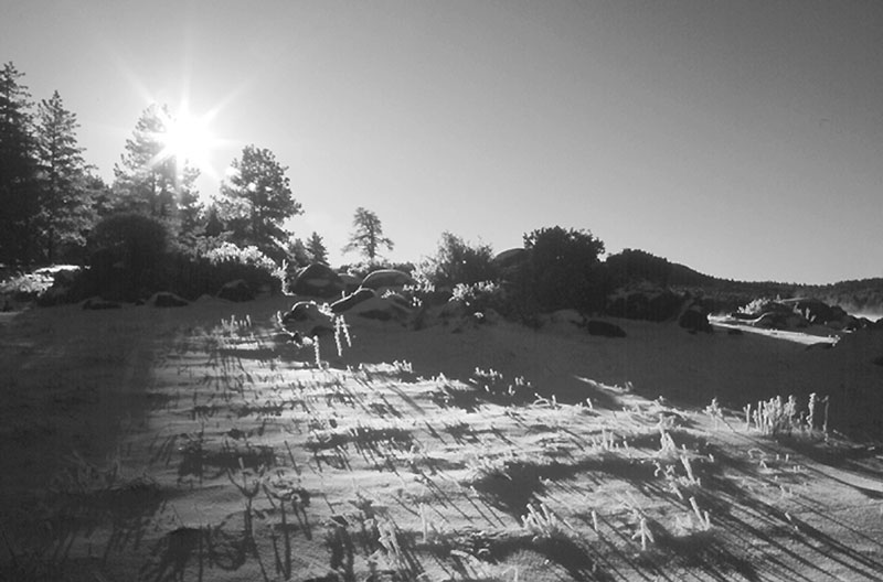
Powdery snow softly crunches beneath sunny skies as you kick and glide along the wide forest path. In the blue-shadowed gloom of the oaks and pines, a doe bounces across your path, as if on a pogo stick. The morning air is crisp and nips your nose and ears, but the exertion keeps you comfortably warm underneath thin, breathable layers of clothing.
San Diego County's mountains aren't high enough to retain snow from winter storms for very long, but the cross-country skiing scenario above has worked for me on several cold winter mornings over the past 15 years. If you have the right ski equipment, simply wait for a cold, wet storm to hit San Diego, arise early the next morning, and take off at your earliest convenience for the Cuyamaca or the Laguna Mountains. If you live in East County, areas for skiing lie as little as 30 minutes away via Interstate 8. Haste does not make waste -- typically you'll have only a few hours of prime skiing conditions before the ascendant sun softens the snow and "snow bunnies" clog every parking lot and roadside turnout.
Several ski and outdoor shops around the county offer cross-country ski and boot rentals for those who might like to try out the sport. Also, don't forget tire chains -- they may be required at the higher elevations.
The densely forested east slope of Cuyamaca Peak features more than one challenging route for cross-country skiers. The generously wide West Mesa and Fern Flat fire roads (accessible from a parking turnout at mile 7.3 on Highway 79) offer gentle gradients at altitudes between 4000 and 5500 feet. The wide, south leg of the Azalea Glen Trail also works well for skiing, but not the narrower and steeper northern sections of that trail.
Experienced skiers can try the Lookout Road from Paso Picacho Campground (elevation 4750 feet) to the summit of Cuyamaca Peak (elevation 6512 feet) and back, 5.5 miles round trip. The strenuous ascent is followed by an at-times-terrifying descent back down, which is practical only when the snow is soft and powdery (and not icy).
A longer, more gradual, and less nerve-wracking bid for Cuyamaca's summit can be made via West Mesa Fire Road, Fern Flat Fire Road, West Mesa Trail, Burnt Pine Trail, and finally the Lookout Road. The West Mesa and Burnt Pine trails are former fire roads and thus are somewhat wider and less steep than most hiking trails.