Sponsored
Sponsored
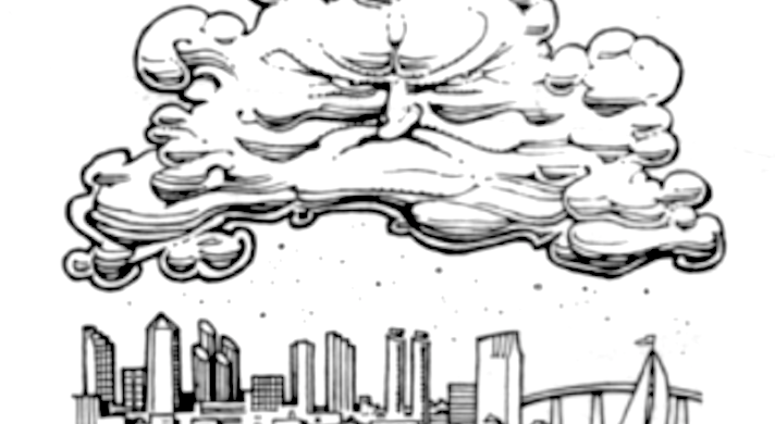
Dear MA: San Diego has busy-looking clouds — and not just the “marine layer” type, although they’re the worst. Local clouds invariably look dirty, dingy, and depressing, as if they were composed of coagulated Riverside air. The only nice semi-local clouds we get are those that form over the mountains and deserts and cause thunderstorms. However, when we get tropical clouds from the Gulf of Mexico, they're much nicer — bright, silvery, sometimes almost iridescent, nicely shaped, and much more conducive to watching while lying in the grass and cogitating. How come? — Cloud Watcher, San Marcos
Whaddya bet this is from the same guy who complained about San Diego’s palm trees being untidy. Oh, well. Eve probably bitched to Adam that the lawn needed mowing. But about San Diego’s clouds — what few we get in this Stable-Air Capital of the U.S. — as with many things in life (paradise included), what they look like depends a lot on your point of view. Those same brilliant white thunderheads you see from your supine position in San Marcos, of course, appear lead gray or blue-black to someone in Alpine or Jacumba. You’re looking at them from a distance; mountain folks are right under them. You’re seeing reflected light from water droplets and ice crystals; they’re seeing the shadowy underside of a cloud that the sunlight can’t penetrate. The relative positions of the viewer, the cloud, and the sun have a lot to do with what “color” a cloud is. So does the altitude of cloud, its shape, the size of the water drops and/or ice crystals, how closely the drops are packed together, the relative number of larger drops to smaller drops, ‘and sometimes the terrain below the cloud and the amount of crud in the air. There’s nothing simple about the way colors are created in the atmosphere.
The low, dense marine layer that aggravates you so much looks cruddy, if I get your meaning, because, again, you’re seeing the shadowed underside of the cloudbank and you’re looking at it through air that’s smoggy. The cloud layer itself would contain some particulates, so you’re not far off the mark when you speculate about coagulated Riverside air. The thunderhead is a more interesting shape because it’s formed by thermals that create the effect of a pile of whipped cream. And it’s constantly being reshaped by internal updrafts and downdrafts and by the wind around it. This is what creates the sheep or Mickey Mouse or broccoli or whatever else cloudgazers find in the sky. The marine layer mostly just sits there like old soapsuds on dishwater until the heat of the day dissipates it.
Tropical storms from the south (from the Sea of Cortez, a.k.a. the Gulf of California, not the Gulf of Mexico) by the time they reach us are usually just the scattered remnants of storm clouds. They may be preceded by wispy, sparkly, high-altitude cirrus formations composed entirely of ice crystals, thin enough for the sun to penetrate and light them up. I’m sure you approve of them. But again, it’s the windy, unstable air associated with weather fronts that make storm cloud watching more interesting than the marine layer or TV. I’d suggest, if you really want to optimize your cloudgazing, you pack your bags and move to Kansas.